


Collection:
Tracers


Need help choosing?


Controls and accessories for chartplotters
138 produits

Replacement EAGLE locking devices
Ref : 000-16315-001
Choose your option

LR-1 Remote Control
Ref : 000-14505-001
Choose your option


HDS PRO 10" Fishfinder with Active Imaging HD 3-in-1 Transducer
Ref : 000-15985-001
Choose your option


Zeus 3S 9" map plotter with world base map
Ref : 000-15411-001
Choose your option


Zeus 3 7" chartplotter with world base map
Ref : 000-13245-001
Choose your option


Zeus S 9" Map Plotter
Ref : 000-15221-001
Choose your option

Gulf of Paria to Cape Horn - 4D
Ref : M-SA-D501-MS
Choose your option

Costa Rica to Chile and the Falkland Islands - 4D
Ref : M-SA-D500-MS
Choose your option

Northeast Russia MW - MAX Federation
Ref : M-RS-M002-MS
Choose your option

North-West Russia MW - MAX Federation
Ref : M-RS-M001-MS
Choose your option

Pacific Coast and Central America - MAX
Ref : M-NA-M035-MS
Choose your option

Atlantic Coast, Gulf of Mexico and Caribbean - MAX
Ref : M-NA-M033-MS
Choose your option

Gulf of Mexico - 4D
Ref : M-NA-D064-MS
Choose your option

Chesapeake Bay to Cuba - 4D
Ref : M-NA-D063-MS
Choose your option

Nova Scotia to Chesapeake Bay - 4D
Ref : M-NA-D062-MS
Choose your option

Great Lakes and St. Lawrence Seaway - 4D
Ref : M-NA-D061-MS
Choose your option


Alaska - 4D
Ref : M-NA-D028-MS
Choose your option


Western Canada, including Puget Sound - 4D
Ref : M-NA-D025-MS
Choose your option

West Coast of the United States and Hawaii - 4D
Ref : M-NA-D024-MS
Choose your option


Canada North and East - 4D
Ref : M-NA-D021-MS
Choose your option

C-MAP REVEAL Indonesia, Malaysia
Ref : M-IN-Y410-MS
Choose your option

REVEAL-X Indonesia, Malaysia
Ref : M-IN-T-400-R-MS
Choose your option

DISCOVER X - India, Sri Lanka, Maldives
Ref : M-IN-T-201-D-MS
Choose your option

European Atlantic Coasts - MAX
Ref : M-EW-M009-MS
Choose your option

North and Baltic Seas - MAX
Ref : M-EN-M019-MS
Choose your option

European inland waters - MAX
Ref : M-EN-M018-MS
Choose your option

Mediterranean and Black Sea - MAX-EN
Ref : M-EM-M917-MS
Choose your option

Mediterranean and Black Sea - MAX-IT
Ref : M-EM-M017-MS
Choose your option

Australia-New Zealand, Papua New Guinea, Vanuatu, New Caledonia, Fiji, French Polynesia - MAX
Ref : M-AU-M007-MS
Choose your option

Red Sea, Arabian Gulf and Africa - MAX
Ref : M-AF-M005-MS
Choose your option

Antarctica - MAX
Ref : M-AF-M003-MS
Choose your option


Lighthouse Mediterranean Mapping
Ref : R70794-MED
Choose your option


Zeus S 3012 ultra-wide international version
Ref : 000-16354-001
Choose your option


NSO 4-16 multifunction display with C-MAP US charting
Ref : 000-16559-001
Choose your option


Zeus SRX 22 multifunction display with worldwide base map
Ref : 000-16321-001
Choose your option

NSS 4-16 multifunction display without fishfinder
Ref : 000-16277-001
Choose your option

NSS 4-12 multifunction display without fishfinder
Ref : 000-16276-001
Choose your option
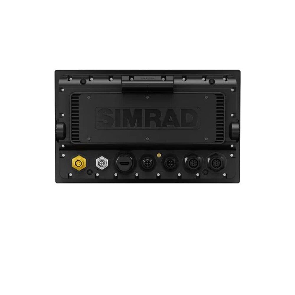

NSS 4-10 multifunction display without fishfinder
Ref : 000-16275-001
Choose your option

Simrad NSS 4-16 multifunction display with worldwide base mapping
Ref : 000-16019-001
Choose your option


Simrad NSS 4-12 multifunction display with worldwide base map
Ref : 000-16016-001
Choose your option


Simrad NSS 4-10 multifunction display with worldwide base mapping
Ref : 000-16013-001
Choose your option


Simrad NSS12 evo3S with worldwide base map
Ref : 000-15406-002
Choose your option

Simrad NSS9 evo3S with worldwide base map
Ref : 000-15405-001
Choose your option


B&G Zeus³S 1x16" System Base Kit
Ref : 000-15125-001
Choose your option


B&G Zeus³S Glass Helm MFD 24" chartplotter only
Ref : 000-15052-001
Choose your option


Simrad NSO evo3S MFD 24" multifunction display
Ref : 000-15051-001
Choose your option


Simrad NSO evo3S MFD 19" multifunction display
Ref : 000-15049-001
Choose your option


B&G Zeus³S Glass Helm MFD 16" display only
Ref : 000-15048-001
Choose your option


Simrad NSO evo3S MFD 16" multifunction display
Ref : 000-15047-001
Choose your option
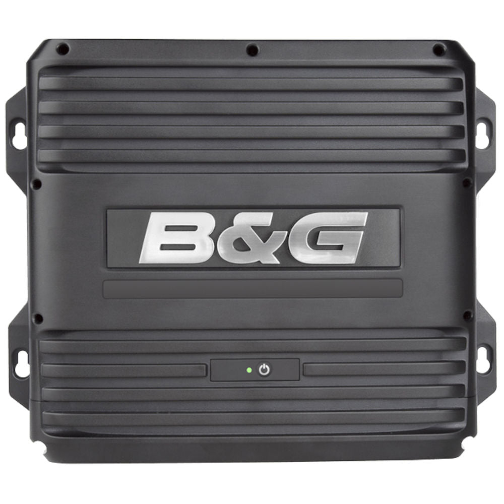
B&G Zeus³S MPU Only processor with basic world charting
Ref : 000-15046-001
Choose your option

Simrad NSO evo3S marine processor with world base map
Ref : 000-15045-001
Choose your option

Simrad NSS7 evo3 with worldwide base map
Ref : 000-13237-001
Choose your option


Navionics+ Regional microSD Card Download
Ref : A80728
Choose your option


Lighthouse mapping Western Europe
Ref : R70794-WEU
Choose your option


North American mapping
Ref : R70794
Choose your option


Axiom 2 Pro 16 S Display
Ref : E70657
Choose your option


AXIOM 7 Display - 7" MFD with LHC WEU
Ref : E70363-00-WEU
Choose your option
19" Multitouch touchscreen 1280x1024 pixels, 350cd/m², Flush Mount, 24VDC and 115/230VAC
Ref : HD19T22FUD-MA1FOGP
Choose your option
HD15T22MMD-MA1FOGP - 15-inch Flush-Mount Marine Touch Display
Ref : HD15T22MMD-MA1FOGP
Choose your option


GP170/GPA017S — GPS chartplotter 5.7" VGA color LCD (640 x 480) WAAS/EGNOS/WM • GPA017S antenna/15m cable •
Ref : IMD03226014
Choose your option


XC SD and microSD XC 256 GB cards with pre-loaded maps for TZT3
Ref : RO-00525
Choose your option


FURUNO NavNet TZTXL 10.1" IPS touchscreen multifunction display with chartplotter and GPS, depth sounder
Ref : IMD041090AA
Choose your option


NavNet TZTXL Black Box processor unit, chartplotter, integrated WiFi
Ref : IMD041140AA
Choose your option


21.5" IPS touchscreen multifunction display with card reader
Ref : IMD041120BA
Choose your option


NavNet TZTXL 13.3" IPS touchscreen multifunction display with chartplotter, GPS, and depth sounder
Ref : IMD041100AA
Choose your option

OD-START-KIT — NMEA2000 starter kit including:
Ref : OD-STARTER-KIT
Choose your option


17" Multitouch Touchscreen 1280x1024 pixels, 350cd/m², Flush Mount, 24VDC and 115/230VAC
Ref : HD17T22MMD-MA1FOGP
Choose your option

IF-2550-IEC1 Multipurpose and Programmable Interface (replaces MD550 and more)
Ref : 00003783100
Choose your option


DGPS kit OP20-56 with GP021S antenna for GP170
Ref : 00003925100
Choose your option
GP170/GP21S — GP170 with GPA021S DGPS antenna/15m cable, 12-24VDC
Ref : IMD03226015
Choose your option


BT-5-2 Booster Box for 5/10 kW transducers - Dual-frequency for 28F-38M, 50F-38, 28F-72, 5
Ref : 00001252100
Choose your option

XC SD card and XC micro SD card 512 GB with pre-loaded maps for TZT3
Ref : RO-01133
Choose your option


24" IPS touchscreen multifunction display with chartplotter
Ref : IMD041130AA
Choose your option


GP1971F - 9-inch GPS Chartplotter with CHIRP Sonar
Ref : IMD034890AB
Choose your option


MCU-005 - Control Keypad for NavNet TZtouch Black Box
Ref : 00003509700
Choose your option


MCU-006H — Horizontal remote control for NavNet TZtouch3, not compatible with NavNet TZtouchXL
Ref : 00004280400
Choose your option


TZT2BB - NavNet TZtouch2 Black Box Navigation System
Ref : IMD03460000
Choose your option


TZT19F — NavNet TZtouch3 19" multifunction touchscreen display with GPS, CHIRP fishfinder and integrated Wi-Fi
Ref : IMD040020AA
Choose your option


Micro SD Card 32GB Preloaded with LightHouse Chartplotter Data - France Zone
Ref : R70794-FRA
Choose your option


AXIOM+ 12 Raymarine multifunction touchscreen 12", WiFi, Lighthouse chartplotter Western Europe
Ref : E70638-00-WEU
Choose your option


AXIOM+ 12 Multifunction Touchscreen Display 12", Wi-Fi, Lighthouse North Europe Mapping
Ref : E70638-00-NEU
Choose your option


AXIOM+ 12 Raymarine multifunction touchscreen display 12", Wi-Fi, Lighthouse Mediterranean mapping
Ref : E70638-00-MED
Choose your option


AXIOM+ 9 Multifunction Touchscreen 9", Wi-Fi, Lighthouse Chartplotter Western Europe
Ref : E70636-00-WEU
Choose your option


AXIOM+ 9 Multifunction Touchscreen Display 9", WiFi, Lighthouse North Europe Mapping
Ref : E70636-00-NEU
Choose your option


AXIOM+ 9 Multi-function touchscreen display 9", Wi-Fi, Lighthouse Mediterranean chartplotter
Ref : E70636-00-MED
Choose your option


AXIOM+ 7 Multifunction touchscreen display 7", Wi-Fi, LightHouse chartplotter Western Europe mapping
Ref : E70634-00-WEU
Choose your option


AXIOM+ 7 Multi-function touchscreen display 7", Wi-Fi, Lighthouse North Europe chartplotter
Ref : E70634-00-NEU
Choose your option


AXIOM+ 7 Raymarine multifunction touchscreen display 7", Wi-Fi, Lighthouse Mediterranean mapping
Ref : E70634-00-MED
Choose your option


Raymarine Element 12 S - 12" GPS chartplotter, Wi-Fi, Lighthouse Europe West mapping without transducer
Ref : E70535-00-WEU
Choose your option


Raymarine Element 12 S - 12" GPS display Wi-Fi, Lighthouse chartplotter Northern Europe mapping without transducer
Ref : E70535-00-NEU
Choose your option


Element 12 S - 12" GPS display with Wi-Fi, Lighthouse Mediterranean chartplotter without transducer
Ref : E70535-00-MED
Choose your option


Raymarine Element 9 S - 9" GPS display with Wi-Fi, Lighthouse Europe West chartplotter without transducer
Ref : E70533-00-WEU
Choose your option


Element 9 S - 9" GPS display with Wi-Fi, Lighthouse North Europe chartplotter without transducer
Ref : E70533-00-NEU
Choose your option


Raymarine Element 9 S - 9" GPS display with Wi-Fi, Lighthouse Méditerranée chartplotter without transducer
Ref : E70533-00-MED
Choose your option


Raymarine Element 9 S - 9" GPS display Wi-Fi, no chartplotter or depth sounder
Ref : E70533
Choose your option


Raymarine Element 7 S - 7" GPS display with Wi-Fi, Lighthouse Europe West chartplotter without transducer
Ref : E70531-00-WEU
Choose your option


Raymarine Element 7 S - 7" GPS display with Wi-Fi, Lighthouse North Europe chartplotter without transducer
Ref : E70531-00-NEU
Choose your option


Raymarine Element 7 S - 7" GPS display with Wi-Fi, Lighthouse Mediterranean chartplotter without transducer
Ref : E70531-00-MED
Choose your option


Lowrance Elite FS 12 GPS-fishfinder combo with Active Imaging 3-in-1 (ROW) sonde
Ref : 000-16440-001
Choose your option


Elite FS 12 GPS-depth sounder combo, display only (no transducer)
Ref : 000-16439-001
Choose your option


Elite FS 10 with Active Imaging 3-in-1 transducer (international version)
Ref : 000-16438-001
Choose your option


GPS-depth sounder Elite FS 10 combo, display only (no transducer)
Ref : 000-16437-001
Choose your option

HOOK2/REVEAL 7"/9"/12" corner clips
Ref : 000-14191-001
Choose your option


HDS PRO 9" fishfinder with Active Imaging HD 3-in-1 transducer
Ref : 000-15982-001
Choose your option


Elite FS 7 Chartplotter
Ref : 000-15702-001
Choose your option


ELITE FS 9 Fishfinder with Active Imaging HD 3-in-1 transducer
Ref : 000-15693-001
Choose your option


ELITE FS 7 Fishfinder with Active Imaging HD 3-in-1 Transducer
Ref : 000-15689-001
Choose your option


NSX 3012 12" Chartplotter
Ref : 000-15223-001
Choose your option


NSX 3007 Without transducer.
Ref : 000-15215-001
Choose your option


AXIOM2 XL 24 - 24" Glass Bridge multifunction touchscreen
Ref : E70664
Choose your option


AXIOM2 XL 22 - 21.5" Glass Bridge multifunction touchscreen
Ref : E70663
Choose your option


AXIOM2 XL 19 - 18.5" Glass Bridge multifunction touchscreen
Ref : E70662
Choose your option


AXIOM2 XL 16 - 15.6" Glass Bridge multifunction touchscreen
Ref : E70661
Choose your option


AXIOM+ 12 Raymarine multifunction touchscreen display 12", Wi-Fi
Ref : E70638
Choose your option


AXIOM+ 9 9" multifunction touchscreen display with Wi-Fi
Ref : E70636
Choose your option


AXIOM+ 7 Multifunction Touchscreen 7", Wi-Fi
Ref : E70634
Choose your option


Element 12 S - 12" GPS display Wi-Fi, no chartplotter or depth sounder
Ref : E70535
Choose your option


Element 7 S - 7" Wi-Fi GPS display, no chartplotter or depth sounder
Ref : E70531
Choose your option


HDS-16 PRO GPS-depth sounder combo, display only (without transducer)
Ref : 000-16006-001
Choose your option


GPS-sounder HDS-9 PRO combo, display only (without transducer)
Ref : 000-15997-001
Choose your option


HDS-16 PRO fishfinder with Active Imaging HD 3-in-1 transducer
Ref : 000-15991-001
Choose your option


Elite FS 9 GPS-depth sounder combo, standalone display (without transducer)
Ref : 000-15706-001
Choose your option


ELITE FS 7 Fishfinder with xSonic HDI M/H 455/800 transducer
Ref : 000-15697-001
Choose your option

30/30HV display screen for H5000/Triton system
Ref : 000-11089-001
Choose your option

Northern Europe Mapping v1.3.0
Ref : R70794-NEU
Choose your option

Adrena LL1 radar overlay licence
Ref : 000-10173-001
Choose your option


Eagle 7" Chartplotter
Ref : 000-16230-001
Choose your option


Zeus SR 16 Map Plotter
Ref : 000-16028-001
Choose your option


Zeus SR 12 Map Plotter
Ref : 000-16025-001
Choose your option


Zeus SR 10 Map Plotter
Ref : 000-16022-001
Choose your option


Zeus 3S 16" map plotter with world base map
Ref : 000-15413-001
Choose your option


Zeus S 7" Map Plotter
Ref : 000-15217-001
Choose your option


Vulcan 7R plotter, no XD
Ref : 000-14082-001
Choose your option


Vulcan 9" Map Plotter
Ref : 000-13214-001
Choose your option


Zeus S 12" Map Plotter
Ref : 000-15225-001
Choose your option


Zeus S 3015 Ultrawide
Ref : 000-16356-001
Choose your option


Zeus³S Glass Helm multifunction display 19"
Ref : 000-15050-001
Choose your option


Zeus 3S 12" map plotter with world base map
Ref : 000-15412-002
Choose your option
Chargement des autres produits...
Learn more
Trackers: mapping information at your fingertips
The chartplotter is the heart of your navigation system. It centralizes data from your instruments, displays charts, and allows you to plan your routes with precision. At Skysat, drawing on our experience in offshore racing, we select robust, high-performance chartplotters compatible with the most common marine communication standards.
Here you will find a selection of proven chartplotters, along with detailed information to help you choose the right model for your boat and sailing program. We emphasize compatibility and system integration to ensure a reliable and high-performance installation.
choose the right screen size
Screen size is a key factor. A larger screen offers greater readability, especially for charts and instrument data. However, you must consider the available space on your navigation console and the chartplotter's power consumption.
- 7-inch chartplotters: Compact and economical, ideal for small boats or restricted navigation consoles.
- 9-12 inch chartplotters: A good compromise between screen size and bulk, suitable for most cruising sailboats.
- 16-inch and larger chartplotters: Offer optimal reading comfort, particularly appreciated for long voyages or racing.
- Touchscreens vs. Buttons: Touchscreens are intuitive but can be less practical in bad weather. Models with buttons offer better ergonomics in all conditions.
connectivity and compatibility
A modern chartplotter must be able to communicate with the other electronic equipment on your boat. Compatibility with NMEA 2000 and SeaTalk NG standards is essential for successful system integration.
- NMEA 2000: The most common digital communication standard, allows data to be exchanged between different devices (GPS, sounder, wind vane-anemometer, etc.).
- SeaTalk NG: Raymarine's proprietary communication protocol, based on NMEA 2000, offering simplified integration of the brand's equipment.
- Wi-Fi and Bluetooth: Allow the tracker to be connected to a smartphone or tablet for map updates, remote control or data sharing.
- Chart compatibility: Check that the chartplotter is compatible with the marine charts you use (Navionics, C-Map, etc.).
advanced features
Beyond map display, modern chartplotters offer many advanced features, such as navigation assistance, boat performance monitoring, and alarm management.
- AIS (Automatic Identification System): Allows you to view the position and identity of other ships equipped with an AIS transponder.
- Radar: Detects obstacles and ships, even in poor visibility. Requires a compatible radar module.
- Depth sounder: Allows you to measure depth and visualize the seabed. Requires a compatible transducer.
- Autopilot: A compatible chartplotter can be used to control an autopilot, allowing it to maintain a heading or follow a route.
💡 Skysat's advice
Before choosing your tracker, take stock of your existing equipment and identify your connectivity needs. A well-planned installation will save you time and prevent compatibility issues.


